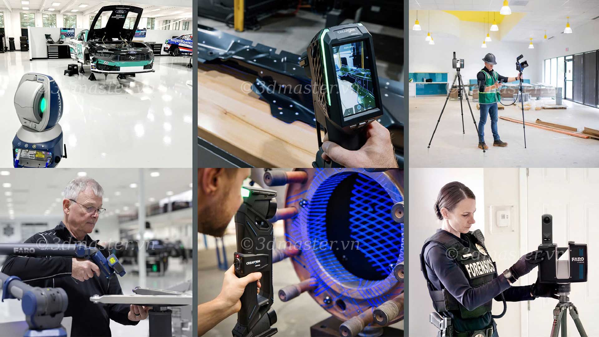
What is SLAM, and why is this technology increasingly being used in 3D scanning and topographic surveying? SLAM enables devices to determine their positions while simultaneously building maps of their surroundings as they move. This makes data collection faster and more flexible without relying on continuous GPS signals. The technology is opening up numerous efficient digitization solutions for construction, forestry, mining, and infrastructure management.
SLAM stands for Simultaneous Localization and Mapping.
Simply put, SLAM enables a device to perform two tasks simultaneously:
Localization: Determine the device's position and direction of movement within an environment.
Mapping: Capture surrounding features to build a digital map of the area.
With this mechanism, users can collect data while moving without stopping to determine their positions at individual measurement points.
SLAM shortens surveying time and supports data collection in areas where GPS is difficult to use. Its applications continue to expand across various fields:
Topographic surveying: Collect terrain, surface, and existing infrastructure data to build 3D maps, supporting measurements and design planning.
Construction and architecture: Scan existing conditions in residential buildings, factories, corridors, and complex structures to generate data for as-built drawings and Building Information Modeling (BIM).
Forestry: Capture terrain beneath forest canopies, spatial structures, and vegetation characteristics to support forest surveys and resource management.
Mining: Map tunnels, underground workings, and mining areas to assess spatial geometry and support surveying and site condition management.
Infrastructure management: Digitize factories, facility systems, and technical infrastructure to support asset inventories, condition inspections, and change monitoring.
Robotics and automation: Help robots determine their relative positions, recognize their surroundings, and build maps for navigation and motion planning.
Heritage preservation: Digitize architectural structures, statues, and historical monuments into 3D data to support condition documentation, research, and restoration.
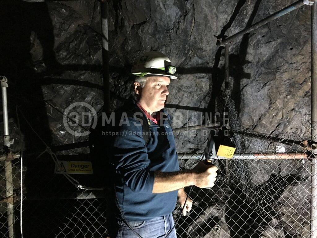
SLAM uses sensor data combined with processing algorithms to determine positions and build maps. Its operating process consists of three basic stages:
Step 1: Scan and capture environmental features
The device captures surrounding features using cameras, LiDAR sensors, and other supporting sensors. Some systems use an inertial measurement unit (IMU) to record movement and changes in the device's orientation.
Step 2: Calculate the device's position
The software analyzes sensor data to estimate the device's position and direction of movement. As new data is collected, the system continuously updates and adjusts its localization results.
Step 3: Build a digital map
The collected data is combined with positional information to create an environmental map. In 3D LiDAR scanning systems, the output is typically a point cloud representing the shapes and positions of surfaces and objects in space.
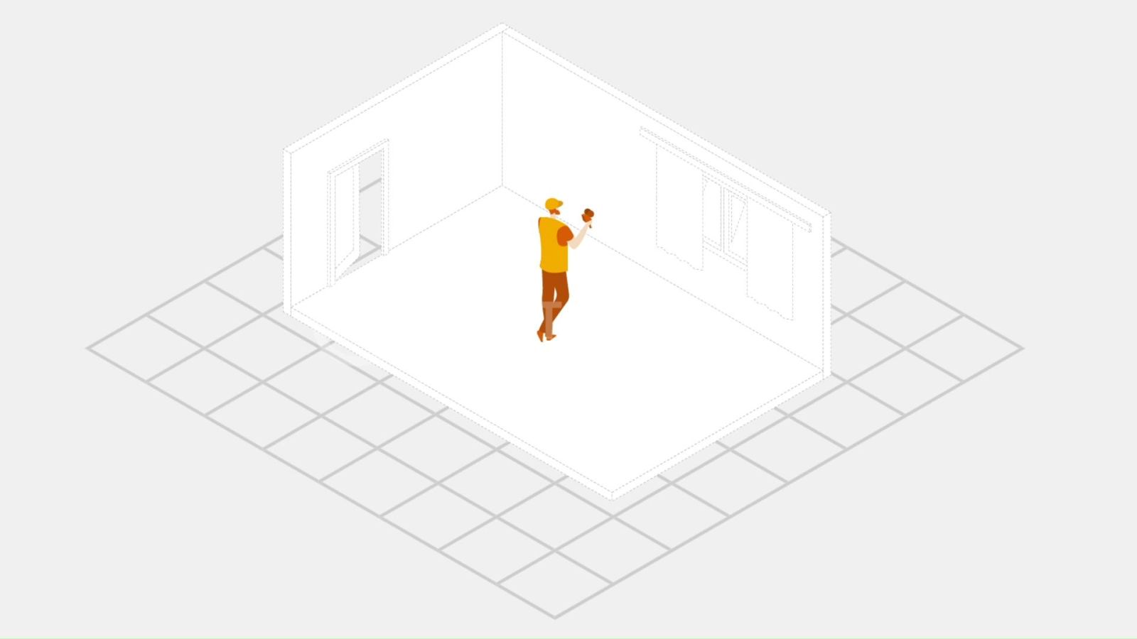
SLAM encompasses various algorithms and implementation methods, depending on the sensors, environment, and intended application.
These algorithms process data differently. Selecting the appropriate method depends on accuracy requirements, speed, and data collection conditions.
The two most commonly used SLAM methods in mobile mapping systems are Visual SLAM and LiDAR SLAM.
| Criteria | Visual SLAM | LiDAR SLAM |
|---|---|---|
| Input data | Images captured by cameras | Range measurements collected by a LiDAR system |
| Operating principle | Analyzes image features to estimate position | Analyzes distance measurements to estimate position |
| Output | Maps based on image features and spatial structures | Spatial maps, typically 3D point clouds when using 3D LiDAR systems |
| Influencing factors | Lighting, image quality, and environmental features | Laser reflectivity, surface characteristics, measurement range, and sensor quality |
| Typical applications | Robotics, augmented reality, and computer vision | Spatial measurement, existing-condition surveys, and 3D mapping |
Overall, if the goal is to build 3D maps from geometric data at high speed, LiDAR SLAM is a practical option to consider. Visual SLAM, meanwhile, is suitable for applications that require image analysis and environmental feature recognition.
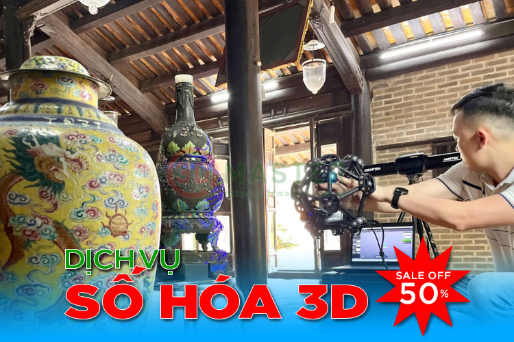
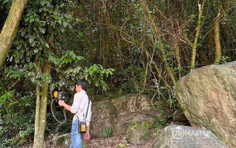
SLAM optimizes surveying by enabling continuous localization and mapping while the device is moving. Compared with stationary scanning, which requires equipment to be set up at multiple measurement positions, mobile SLAM systems offer several practical benefits:
Reduced surveying time: Collect data continuously while moving, reducing scanning station setup time and the need to merge data from separate positions.
Flexible measurements: Access corridors, tunnels, factories, and complex terrain without setting up stationary equipment at numerous points.
Mapping in GPS-denied environments: Use sensor data to determine relative positions, making the technology suitable for basements, indoor spaces, and areas beneath forest canopies.
Supplementing other 3D scanning methods: Combine SLAM point clouds with static laser scanning data to improve existing-condition models and increase spatial coverage.
It is important to note that SLAM does not require continuous GPS operation, but its accuracy still depends on the scanning environment, sensors, and processing algorithms. Projects requiring absolute geographic coordinates may need additional positioning data or suitable control points.
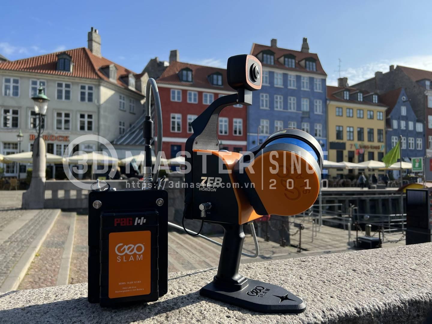
3D Master provides on-site 3D scanning services, using the ZEB Horizon GeoSLAM laser scanner to collect spatial data for surveying and infrastructure digitization.
ZEB Horizon is a mobile 3D laser scanner developed by GeoSLAM. It uses SLAM technology to collect data as the operator moves through an environment.
Equipment suitable for mobile surveying: ZEB Horizon supports data collection indoors, outdoors, and underground, reducing dependence on multiple stationary scanning stations.
Post-scanning data processing: 3D Master uses specialized software to process point clouds for measurement, 3D modeling, and related technical applications.
On-site scanning services: The technical team can visit customer locations to survey and collect data for large objects or structures that are difficult to transport.
Project-specific consultation: Solutions are selected based on the survey scope, environmental conditions, accuracy requirements, and required output formats.
With experience in 3D scanning and a range of equipment for different measurement needs, 3D Master aims to deliver solutions suited to each project's actual conditions, from existing-condition surveys to spatial digitization for design and infrastructure management.
As this article demonstrates, understanding what SLAM is involves more than learning about simultaneous localization and mapping. It also means recognizing its potential to optimize spatial data collection. With flexible scanning capabilities in hard-to-access areas and no need for continuous GPS, SLAM is increasingly used in topographic surveying, construction, and infrastructure management. If your business is looking for an existing-condition digitization solution, 3D Master is ready to provide consultation on 3D scanning services using the ZEB Horizon GeoSLAM scanner to meet your project's specific requirements.
3D Master Contact Information:
Hotline / Zalo / Telegram / WhatsApp / LINE / Viber / KakaoTalk: +84 982 089 198 | 0986333960
Email: cuong3dmaster@gmail.com | hung3dmaster@gmail.com | tech3dmaster@gmail.com
Website: https://3dmaster.com.vn