What is 3D Mapping that it can create spectacular light shows, transforming the rough surfaces of buildings, stages, or artifacts into vibrant artistic spaces? This article will explore in detail the operating principles of 3D Mapping and why leading professional projection projects always rely on digitization solutions from 3D Master - a pioneer in 3D technology in Vietnam.
.jpg)
3D Mapping (also known as Projection Mapping or Video Mapping) is a technique that uses projectors to display images, videos, lighting effects, or 3D content onto a predetermined physical surface.
Instead of projecting a flat image onto a conventional screen, the content is designed and precisely aligned according to the shape, dimensions, and position of the surface being projected onto.
The basic process and operating principle include:
Survey the object → collect geometric data → create a 3D model → design content → align projectors → projection
Therefore, a professional 3D Mapping system typically includes:
The 3D model serves as the bridge between the physical object and the projected content. The closer the model is to the actual condition, the more convenient the Mapping design and alignment process becomes.
This is why 3D Scanning can play an important role from the surveying stage and in building input data for the project:
In particular, for Mapping projects involving art statues, vehicles, machinery, stages, or structures with complex shapes, the advantages of 3D Scanning become even more apparent.
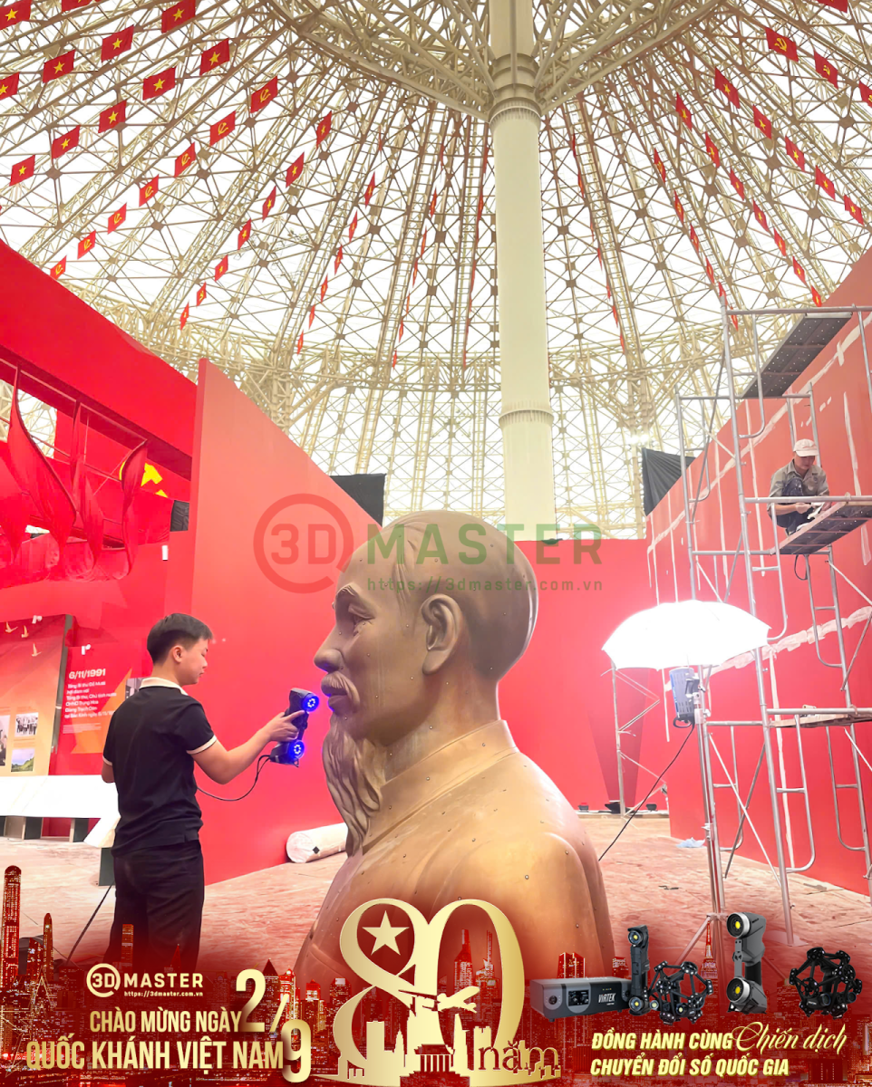
The process of creating a highly accurate 3D digital model for 3D Mapping projection involves the following advanced technical steps:
Step 1: Site Survey & Scanning Technology Selection:
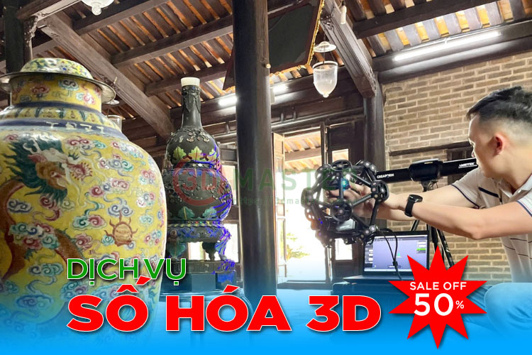
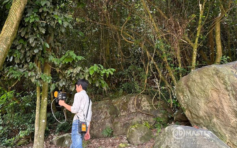
Technical specialists assess the scale, material, and lighting conditions of the object (building, statue, automobile, etc.) to select the most suitable 3D scanning equipment.
Step 2: Surface Data Acquisition (Scanning Process):
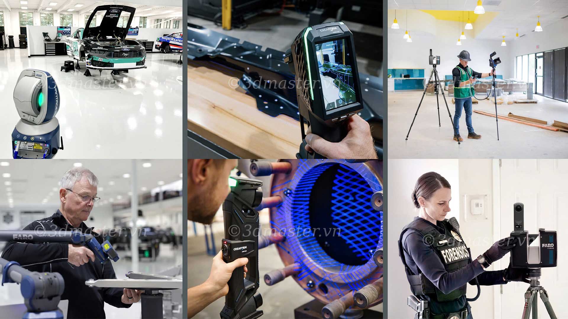
Specialized 3D scanning devices project laser lines or white light to capture the complete X, Y, and Z coordinates and surface structure of the object.
Some 3D scanner models with high accuracy and extremely fast scanning speeds can be used, such as:
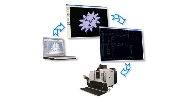
Step 3: Point Cloud Optimization: The scan data is processed using professional software (such as VXelements and Geomagic) to align multiple scanning angles and clean the data.
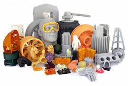
Step 4: Creating a 3D Surface Mesh (Polygonal Mesh / CAD Model): Convert point cloud data into a triangular mesh (STL/OBJ) or an accurate standard 3D CAD model.
Step 5: Exporting 3D Files for the Creative & Mapping Team: The completed 3D model is imported into 3D graphic design software and Mapping control software to begin the visual effects creation process.
.jpg)
The combination of 3D Scanning and 3D Mapping is particularly useful when the projection target has a complex shape or no existing 3D drawings are available.
Are you looking for a highly accurate 3D Scanning solution for your 3D Mapping project? 3D MASTER is proud to be one of Vietnam's leading trusted technology partners.
3D Master has been an authorized representative of Creaform (Canada), a leading global 3D scanner brand, for more than 10 years, committed to delivering international-standard technology solutions.
With a range of advanced equipment readily available, including HandySCAN 3D (MAX / EVO / Elite), MetraSCAN BLACK Elite, Go!SCAN 3D, and more, 3D Master is ready to provide real-world demonstrations and deploy projects immediately.
With a team of engineers boasting more than 10 years of experience and comprehensive expertise in processing complex 3D data, 3D Master is committed to meeting the most demanding requirements of high-end Mapping shows.
3D Master provides on-site 3D Scanning services nationwide, technology transfer, and cost-optimized solution consulting for projects of different scales.
Hopefully, this article has helped you understand what 3D Mapping is and the role of 3D Scanning in creating accurate data for projection. If you need to digitize buildings, statues, stages, or products for Mapping applications, 3D Master, with more than 10 years of experience distributing Creaform in Vietnam and a specialized technical team, is ready to work with you.
3D Master Contact Information: