As-built documentation is essential for managing, repairing, and renovating buildings after construction. However, incomplete drawings or records that fail to reflect actual conditions can increase project costs and delay implementation. 3D scanning technology captures spatial data, recreates existing building conditions, and supports the preparation of more accurate as-built drawings. This gives investors, engineers, and contractors a more reliable basis for minimizing errors before construction begins.
As-built documentation is a collection of records documenting the construction process and the actual condition of a building upon completion. Depending on the building type and applicable legal requirements, the documentation may include as-built drawings, acceptance records, and other related documents.
These records help investors and facility managers understand which work items have been completed, providing a basis for future operations, maintenance, and repairs.
Design drawings and as-built drawings differ in an important respect: design drawings illustrate the proposed plan before construction, whereas as-built drawings reflect the actual dimensions and changes verified after construction.
Common problems associated with missing original drawings or outdated documentation include:
Dimensional discrepancies: Actual dimensions of walls, columns, beams, or usable spaces differ from those shown in archived drawings.
Missing technical system information: The locations of pipes, electrical wiring, and utility routes are not fully documented.
Unrecorded construction changes: Adjustments made during construction have not been incorporated into the documentation.
Difficulty determining actual conditions: Renovation teams must resurvey multiple areas before developing a design plan.
When renovating, repairing, or upgrading a building, accurate as-built documentation helps engineers identify the areas requiring intervention, assess existing conditions, and minimize unexpected changes. It also provides a basis for developing construction plans that reflect actual site conditions.
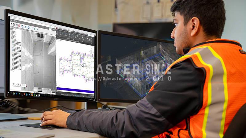
Inaccurate as-built documentation forces construction teams to address issues that were not anticipated in the original plan. In renovation projects, discrepancies between drawings and actual conditions can increase labor and material costs and extend project timelines.
Additional construction costs: Components must be dismantled, relocated, or adjusted when actual dimensions and positions do not match the drawings.
Project delays: Teams must conduct additional surveys, repeat measurements, and revise design plans before construction can continue.
Increased risk of errors: Inconsistent data can lead to poorly informed renovation design decisions, potentially compromising the structural safety of the building.
Difficulties coordinating between stakeholders: Architects, engineers, and contractors may work with different datasets, causing confusion during implementation.
Research indicates that rework costs can account for up to 5% of total construction costs. This highlights how early detection of discrepancies and reliable existing-condition data can help minimize waste.

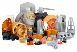
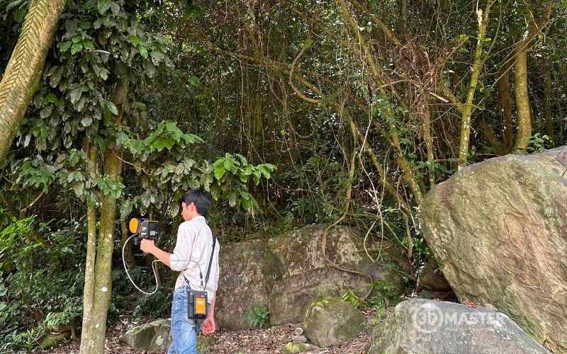
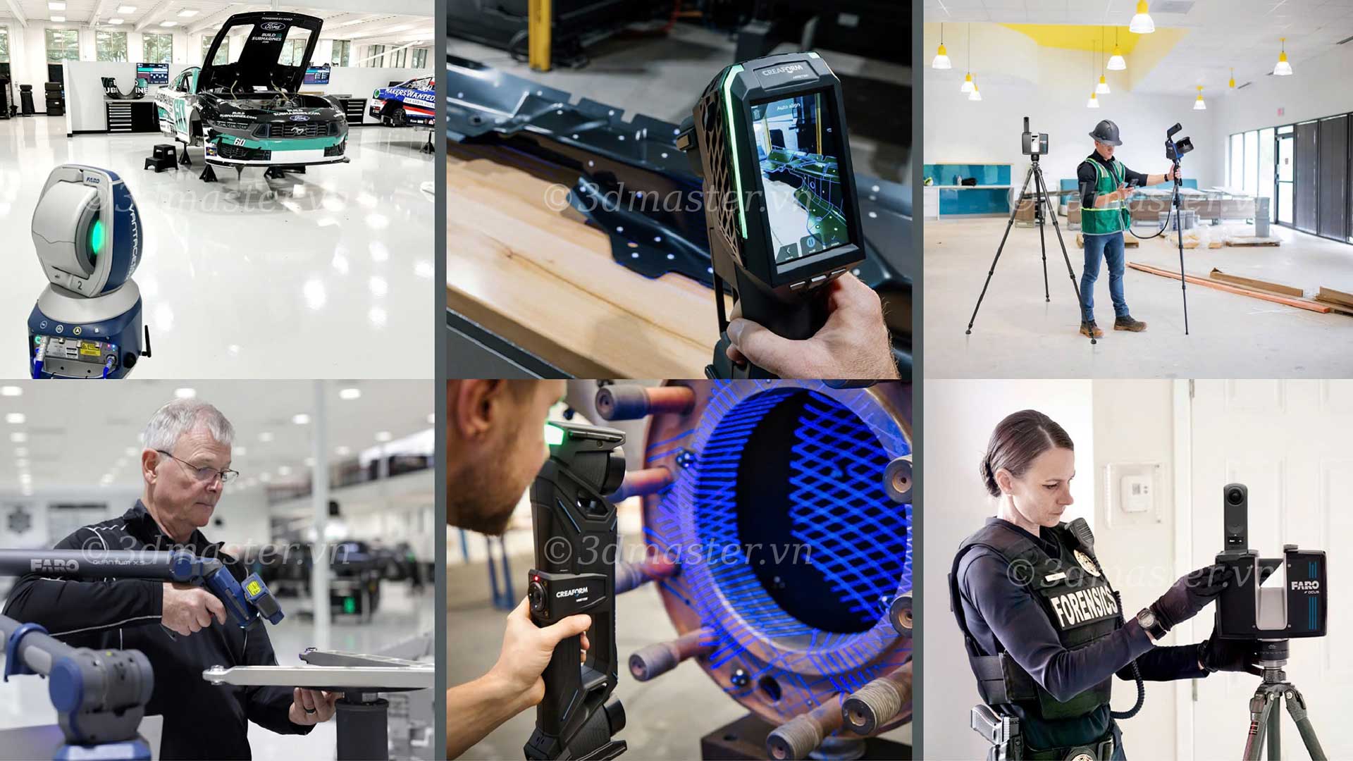
3D scanning uses measurements to capture the shapes and surface positions of a building, creating a digital dataset representing its spatial characteristics.
Compared with manually measuring individual points, this technology can collect large amounts of data in a short time, giving engineers more information for preparing drawings and assessing existing conditions.
The main benefits include:
Capturing existing-condition data: Recording the building's spatial environment using millions of coordinate points in a point cloud, with millimeter-level accuracy achievable under suitable conditions, in a short period.
Creating a digital representation of the building: Developing a visual digital replica that preserves geometric information and the actual colors of the building within a digital environment.
Supporting as-built drawing preparation: Providing measurement data for producing floor plans, elevations, sections, and existing-condition drawings according to project requirements.
Detecting discrepancies: Comparing scanned data with design drawings or existing models to identify areas requiring inspection and adjustment.
Reducing reliance on manual measurements: Minimizing repeated measurements in complex, difficult-to-access, or geometrically detailed areas.
Supporting data collaboration: Sharing point clouds and digital models so stakeholders can reference the same information during design, renovation, and construction.
However, 3D scanning data does not automatically constitute a complete set of as-built documentation. The responsible team must still process the data, verify its accuracy, confirm construction information, and prepare documents according to project requirements. Hidden details or elements inside structural components may also require additional survey methods.
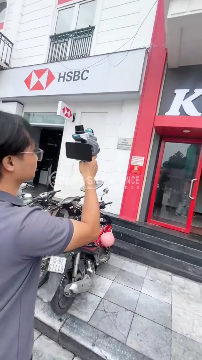
To ensure that scanned data effectively supports drawing preparation and building renovation, the workflow must maintain a clear connection between surveying, data collection, processing, and result verification.
Step 1: Conduct a Building Survey
Determine the scanning scope, intended data use, accuracy requirements, and areas that are difficult to access. This provides the basis for selecting suitable equipment and measurement methods.
Step 2: Perform 3D Scanning
Use a 3D laser scanner to collect data at predetermined locations. The number of scanning positions and equipment placement must provide adequate coverage while minimizing occluded areas.
Step 3: Process the Scanning Data
Register individual scans into a unified dataset, check data completeness, and remove noise where necessary. The results are typically represented as a point cloud.
Step 4: Prepare As-Built Drawings or a 3D Model
Use the processed data to produce floor plans, elevations, sections, or 3D models according to project requirements. All necessary information must be checked and supplemented before the deliverables are used as technical documentation.
Step 5: Verify and Deliver the Results
Compare the results against project requirements, check critical dimensions, and verify changes made during construction. Then deliver the drawings, models, and digital data in the agreed formats.
This workflow transforms scanning data into practical deliverables. Output quality still depends on the survey plan, equipment, data-processing procedures, and technical verification.
3D scanning technology can be adapted to various building types, from residential properties to complex industrial facilities:
Residential as-built drawings: Digitizing individual homes to help homeowners understand the actual layout, including concealed electrical and plumbing systems and column-and-beam structures.
Townhouse as-built drawings: Addressing the challenges of narrow, adjoining houses with complex layouts and limited space, helping ensure that acceptance records accurately reflect actual construction conditions.
Older buildings with missing drawings: Providing an effective solution for aging buildings requiring renovation when original design documentation has been lost, enabling their geometric data to be recreated efficiently.
Commercial and industrial facilities: Supporting factories, shopping centers, and office towers with dense mechanical, electrical, and plumbing (MEP) systems, where high accuracy is essential for expansion and maintenance.
In addition to scanning equipment, data-processing capabilities and implementation experience directly affect the effectiveness of the technology.
3D Master is an official distributor of AMETEK Creaform 3D scanning solutions in Vietnam, with more than 10 years of experience in 3D technology.
The company supplies equipment and provides technical support, helping customers select solutions suited to their actual requirements.
Key advantages of 3D Master include:
Needs-based solution consulting: Helping customers select equipment according to the characteristics of the objects being surveyed, measurement scope, and technical requirements, thereby avoiding unsuitable investments.
Professional 3D scanning equipment: Supplying 3D scanners for geometric data acquisition, dimensional inspection, and object digitization.
Specialized technical team: Providing consultation, equipment demonstrations, training, and guidance on integrating the technology into practical workflows.
Support throughout implementation: Helping customers adopt 3D scanning technology and use the resulting data more effectively in their professional activities.
For projects requiring existing-condition documentation, building renovation, or data digitization for design purposes, selecting the right scanning approach from the outset helps prevent data gaps and reduces the need for additional surveys.
In summary, accurate as-built documentation is essential for effective building management, renovation, and repairs. Applying 3D scanning technology helps capture detailed existing-condition data, supports the preparation of drawings that closely reflect reality, and minimizes construction errors. With the right solution, businesses can reduce unexpected costs, maintain better control over project schedules, and improve implementation efficiency. Contact 3D Master for advice on 3D scanning solutions tailored to your building digitization requirements.
Contact 3D Master:
Hotline / Zalo / Telegram / WhatsApp / LINE / Viber / KakaoTalk: +84 982 089 198 | 0986333960
Email: cuong3dmaster@gmail.com | hung3dmaster@gmail.com | tech3dmaster@gmail.com
Website: https://3dmaster.com.vn