BIM models are becoming an essential tool in the construction industry, enabling teams to digitize information, coordinate their work, and manage facilities throughout a project’s lifecycle. However, the quality of a BIM model depends heavily on the accuracy of its input data. This is why 3D scanning technology is increasingly used in BIM modeling. By capturing existing conditions as a point cloud, this technology helps create building information models that closely reflect actual site conditions and support more effective design, construction, and facility management.
Building information modeling (BIM) is the process of creating and managing a digital representation of a facility through a 3D model with integrated data.
Beyond the shape and dimensions shown in a conventional 3D drawing, a BIM model also contains information about geometry, spatial relationships, materials, quantities, and schedules.
Project stakeholders can use this shared source of information to coordinate their work, track progress, and manage the facility.
BIM supports facility management throughout the project lifecycle and provides practical benefits at each stage.
BIM therefore provides a centralized way to manage project information through a 3D model. The more complete and accurate the data, the more reliable it is for project oversight.
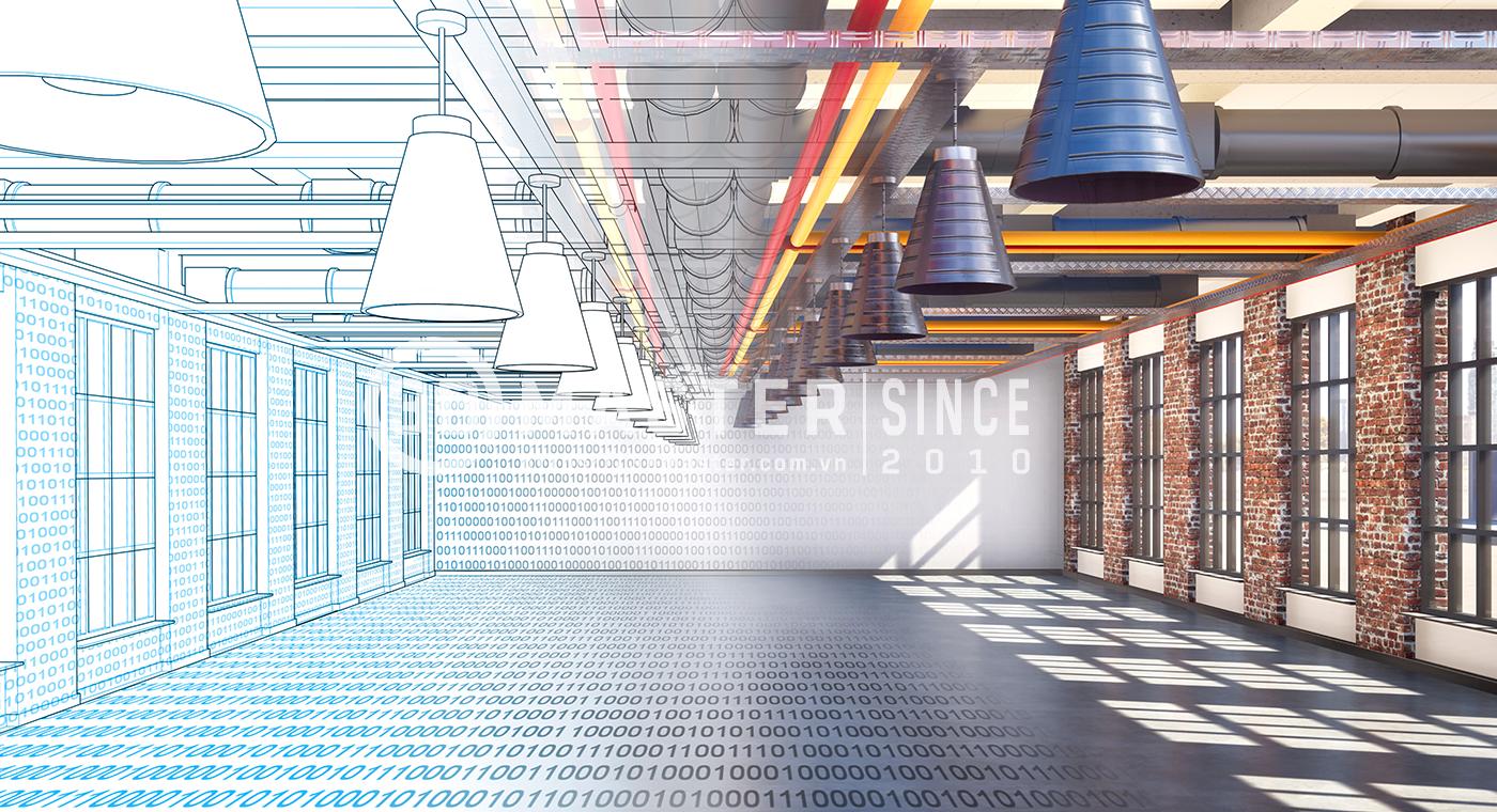
Scan-to-BIM is the process of capturing spatial data, typically using 3D scanning technology, and converting it into a structured, information-rich 3D model for use in BIM workflows.
This approach is especially useful for existing buildings, where original design drawings may no longer reflect actual dimensions and layouts after years of use or multiple renovations.
Compared with manual measurement or relying entirely on existing drawings, Scan-to-BIM provides a clearer visual record of current site conditions.
Mobile LiDAR, in particular, can shorten point cloud data collection time, helping address one of the main challenges of Scan-to-BIM workflows, which is the time required for surveying and modeling.
The practical benefits of Scan-to-BIM include the following.
Scan-to-BIM is most effective when introduced early in a project. Capturing existing conditions at the outset gives stakeholders a common reference for design, planning, and construction.

Converting 3D scan data into a BIM model involves on-site surveying, spatial data processing, and digital modeling.
Step 1. Scan the Existing Site Conditions
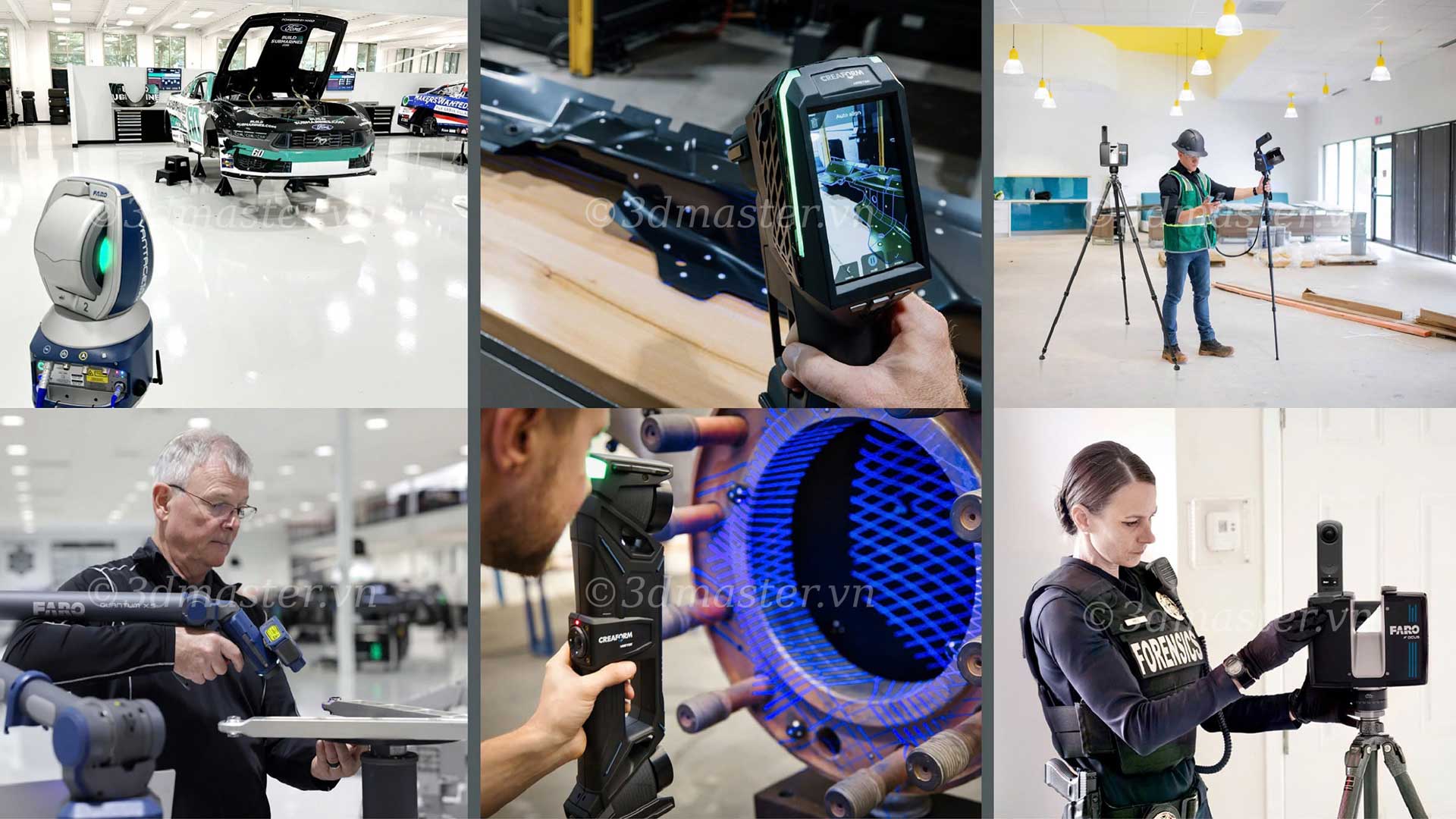
Use a 3D laser scanner to capture spatial data at the site. The scanner records millions of measurement points on the surfaces of walls, floors, ceilings, columns, beams, and building services systems.
Depending on the project size, structural configuration, and survey requirements, technicians select scan positions, coverage, and measurement methods to minimize blind spots and capture the areas to be modeled.
Step 2. Process the Point Cloud Data
Scans captured from multiple positions are registered and aligned in a common coordinate system. Technicians then filter out noise, remove unnecessary points, check for gaps in coverage, and classify components according to project requirements.
The result is a unified point cloud that represents the shape and position of building components in their actual spatial context.
Step 3. Build the BIM Model
Use the point cloud as a reference to create objects in BIM software. Technicians identify and model elements such as walls, floors, columns, beams, doors, stairs, and mechanical, electrical, and plumbing (MEP) systems.
Each object is assigned relevant information, such as dimensions, location, material, or technical properties, according to project requirements. The required level of detail should be defined in advance based on how the model will be used.
Step 4. Verify and Update the Model
Compare the BIM model with the point cloud to check for deviations in the geometry, position, and dimensions of building components. Review any areas with discrepancies or missing information, then update and refine the model as needed.
Once verified, the model is finalized to meet handover requirements and support design, construction, facility management, or renovation.
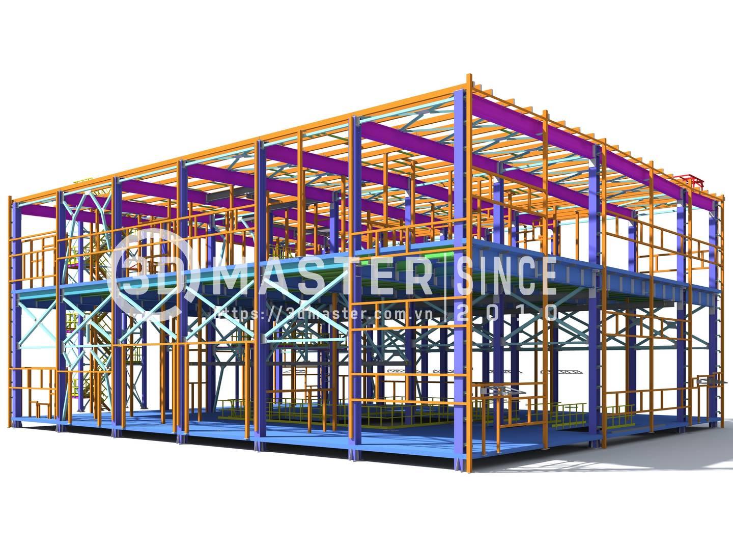
By combining data on existing conditions with a building information model, BIM can support multiple stages of a construction project.
This approach is especially effective when surveying existing buildings, reviewing designs, and managing facilities with complex structures.

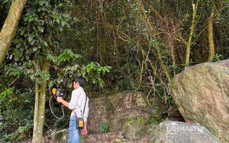
Scan-to-BIM requires accurate input data, making suitable equipment and a skilled technical team essential.
3D Master provides 3D measurement and digitization solutions and is an official distributor of FARO and Creaform 3D scanning equipment in Vietnam, with more than 10 years of experience.
With modern 3D scanners, a range of equipment available for demonstration, and a specialized technical team, 3D Master can recommend a survey approach suited to the characteristics of each facility.
Each solution is tailored to the required survey coverage, accuracy, and intended use of the data, giving businesses more control over how they digitize existing conditions and implement Scan-to-BIM.
Drawing on its equipment, project experience, and technical expertise, 3D Master provides 3D scanning solutions tailored to specific survey requirements. This helps businesses improve the quality of their existing-condition data and build a reliable foundation for BIM modeling.
3D scanning plays an important role in BIM modeling by capturing accurate data on existing conditions and providing a foundation for a building information model that closely reflects the actual facility. By combining modern equipment with professional data processing, businesses can improve the efficiency of design, construction, and facility management throughout the project lifecycle. Choosing the right 3D scanning solution from 3D Master is a first step toward accurately digitizing a facility, making better use of resources, and improving facility management.
3D Master Contact Information