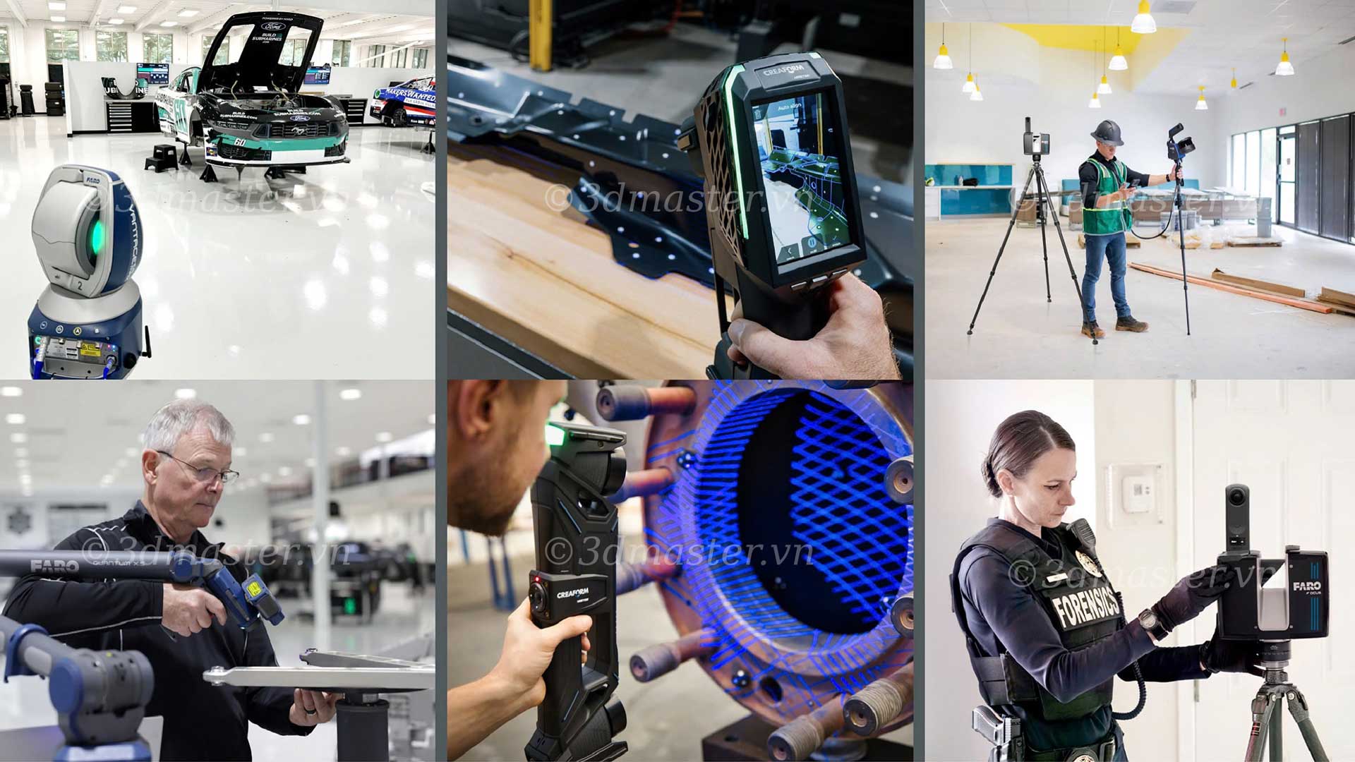
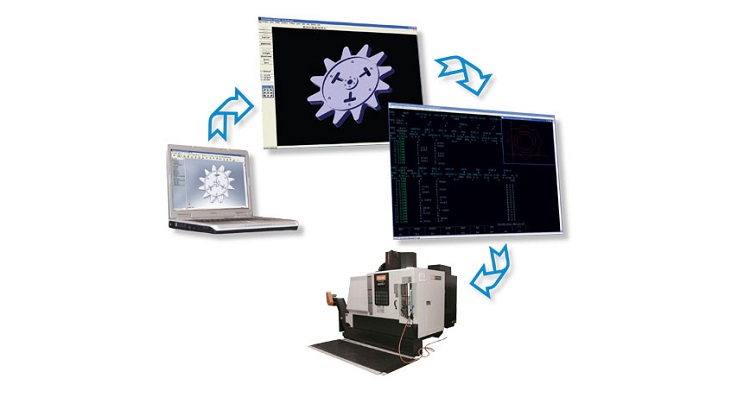
An FSC Certificate provides a basis for assessing forest management practices against environmental, social, and economic requirements. So, what is the FSC Standard, what is the FSC Certificate used for, and what does FSC Forest Certification mean for resource management? Alongside management requirements, accurate data on forest area, structure, and biomass is also essential. 3D scanning technology combined with LiDAR and SLAM supports rapid spatial data collection, helping digitize current forest conditions and improve the efficiency of forest surveys.
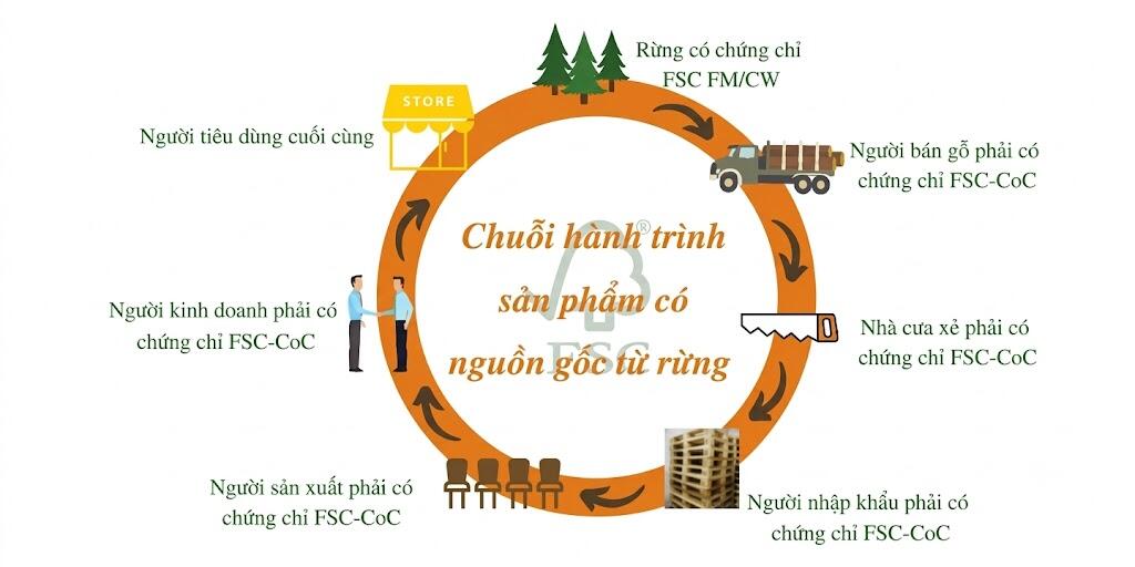
FSC - Forest Stewardship Council is an organization that establishes principles for responsible forest management, balancing economic, environmental, and social interests.
An FSC Certificate is an international certification demonstrating that wood or non-wood forest products originate from responsibly managed forests and are produced without violating applicable laws or causing environmental destruction.
Some notable benefits of meeting FSC standards include:
FSC certification serves as a "green passport" for wood-exporting businesses, helping them address technical barriers when entering demanding markets such as the EU, the US, and Japan.
Forest inventories require the collection of multiple types of data. These may include tree locations, trunk diameter, tree height, tree density, area, and terrain characteristics. In large forests or areas with complex terrain, manual data collection can require significant time and manpower.
Common limitations include:
In particular, forest biomass cannot be determined from area measurements alone. Tree geometry parameters need to be combined with appropriate biomass equations or forestry models.
3D scanning technology combined with LiDAR sensors is a modern solution for forestry applications. The technology uses laser signals to collect three-dimensional geometric data of forest areas, either from the air or from the ground.
The collected data is processed into a 3D point cloud. This allows the analysis of tree height, trunk diameter, tree density, canopy structure, and terrain.
These geometric parameters can be combined with forestry models to estimate forest volume, biomass, and carbon stocks.
Key advantages of 3D scanning technology include:
However, 3D scanning does not automatically produce accurate biomass figures for every forest. Results also depend on the equipment, data coverage, forest conditions, processing methods, and the selected biomass model.
.jpg)
First, the survey team determines the scope and objectives of data collection. The area to be measured is defined, and a movement route is planned according to the terrain.
A 3D scanner combined with a LiDAR + SLAM sensor is then operated within the forest area. As the device moves, the LiDAR sensor continuously records the distance and shape of surrounding objects. At the same time, the SLAM system determines the position and movement of the device.
The result is a 3D dataset describing:
The raw data is processed into a Point Cloud. Each point in the cloud has spatial coordinates. When millions of points are combined, they form a 3D model of the forest area.
From the Point Cloud, technicians can analyze:
This step converts 3D data into useful parameters for forest inventory.
From the Point Cloud, software can support the identification of tree locations, tree height, trunk diameter in areas with sufficient data detail, and tree density per unit area.
For biomass estimation, an additional modeling step is required. Geometric parameters such as tree height, trunk diameter, trunk volume, or canopy characteristics are entered into an allometric equation or a validated model appropriate for the corresponding forest type.
The process can be simply understood as:
3D data → geometric parameters → biomass model → biomass estimation → carbon conversion using an appropriate methodology.
This approach allows spatial data to be used more effectively in forest inventories and carbon-related assessments.

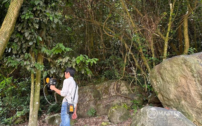
After the data is collected, the results are consolidated and verified.
Data can be compared between:
Storing the Point Cloud also provides a foundation for building a 3D database for future surveys. When combined with GIS and appropriate map data layers, the data can support monitoring changes in forest area, forest structure, and related indicators.
image
.jpg)
3D Master is proud to be a leading provider of professional 3D scanning solutions and services in Vietnam.
The company provides comprehensive forest measurement and digitization solutions, supporting businesses throughout the process of assessing FSC certification:
If your business or forest management organization needs to digitize current conditions, measure forest area, or build data for biomass assessment, you can contact 3D Master for advice on a suitable 3D scanning solution.
In summary, an FSC Certificate requires responsible forest management practices supported by reliable data on current forest conditions. 3D scanning technology combined with LiDAR and SLAM helps digitize forest environments, supporting area measurement, tree structure analysis, and rapid biomass estimation. This is a suitable solution for improving the efficiency of forest inventories, monitoring, and long-term forest resource management.
3D Master Contact Information: