Underground metro lines play an important role in Vietnam’s urban transport development strategy, particularly in densely populated cities. Complex tunnel structures, constrained construction conditions, and the risk of deformation over time place stringent demands on quality control. 3D scanning technology captures detailed geometric data to help engineers identify deviations, assess existing conditions, and build a database for managing and maintaining underground metro lines.
A metro is a high-capacity urban passenger rail system that operates on dedicated rights-of-way. Depending on urban planning requirements and local terrain, metro lines can run at ground level, on elevated structures, or underground.
In Vietnam, Hanoi and Ho Chi Minh City are expanding their urban rail networks to increase public transport capacity, ease traffic congestion, and connect areas undergoing development.
Underground metro lines make use of space below ground while posing technical challenges for geotechnical surveys, construction, structural inspections, and operational management.
Confined spaces, long tunnels, and complex geological conditions make inspection and quality control particularly challenging.
These challenges have increased interest in 3D laser scanning for the construction and management of underground metro lines.
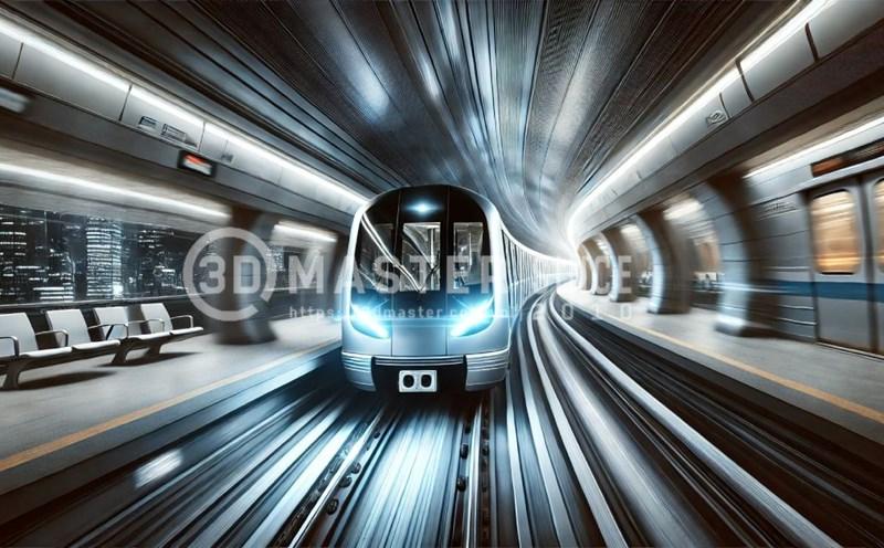
3D scanning uses specialized equipment to capture the geometry of physical objects or spaces.
A 3D laser scanner emits laser beams and measures the returned signals to determine the coordinates of millions of points on a surface. These points form a point cloud, a three-dimensional representation of the object’s or space’s shape and dimensions.
Modern 3D laser scanners offer several advantages for surveying and quality control in underground construction.
With specialized processing software, engineers can register, combine, and analyze scans in a common coordinate system. They can then visualize the tunnel, locate areas with geometric deviations, and assess them using measured data.
\
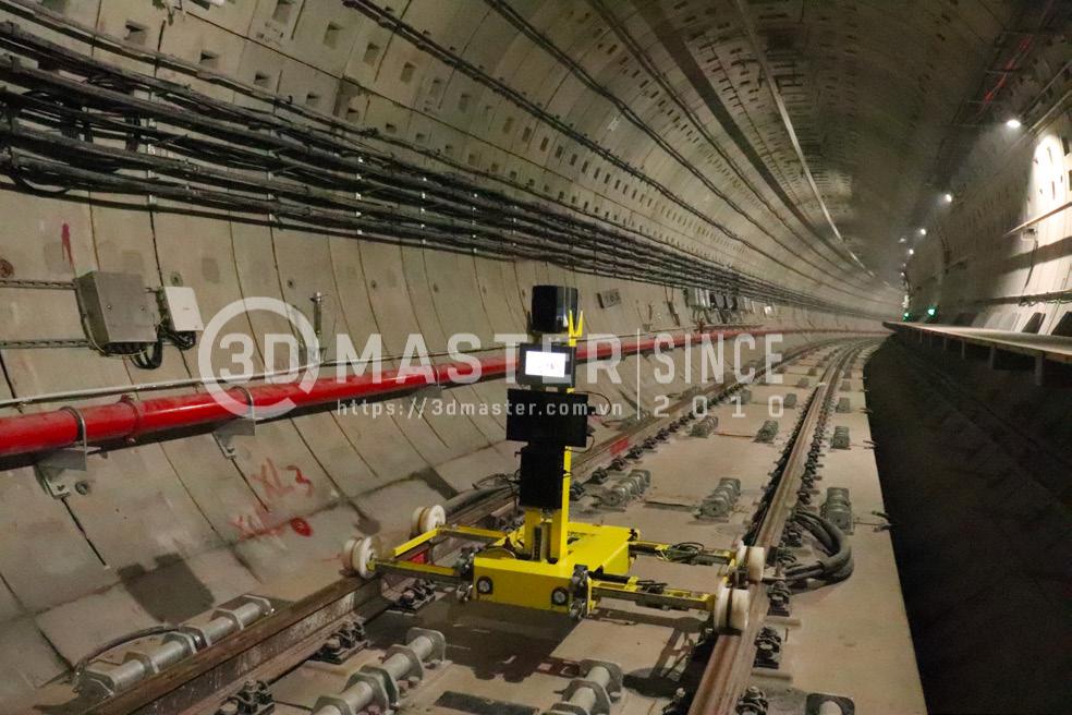
Metro tunnels are subject to ground pressure, groundwater, and surrounding geological conditions. Over time, these factors can alter the tunnel’s cross-sectional geometry, causing convergence or structural deformation.
3D laser scanning captures detailed surface data that engineers can use to assess tunnel geometry and monitor changes.
Specific applications include the following.
Keeping scan data from multiple stages helps engineers assess how tunnel geometry changes over time and informs inspections and maintenance.
In tunnel boring machine (TBM) construction, crews assemble precast concrete segments into successive rings that form the tunnel lining.
Installation requires precise positioning, orientation, and geometry. Misalignment between segments can affect the uniformity of the lining and the quality of the finished tunnel.
3D laser scanning provides detailed spatial data for checking geometric deviations after installation.
Point cloud data lets engineers assess multiple lining rings within a single dataset, supporting construction quality control and helping them identify areas that require additional inspection.
Once construction work is complete, checking the actual dimensions and geometry against the design is an important step before acceptance.
Conventional surveys typically capture measurements at selected points, making it difficult to document the full geometry of complex structures.
3D laser scanning supports inspection and acceptance in several ways.
3D scanning gives project stakeholders visual and quantitative data to assess how closely the completed works meet design requirements.
Once underground metro lines enter service, periodic inspections help operators monitor structural conditions, detect unusual changes, and plan maintenance.
Engineers can use 3D laser scan data to build models of existing conditions and establish a digital record for long-term asset management.
Typical applications include the following.
When integrated with a building information model (BIM), 3D scan data can help create a unified project database for managing structural and infrastructure information throughout the asset’s lifecycle.
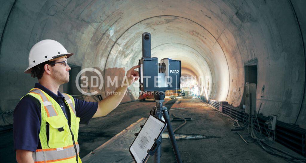
Vietnam is expanding urban rail networks in Hanoi and Ho Chi Minh City to increase public transport capacity and ease traffic congestion. Several projects include underground sections with demanding requirements for structural quality control, geometric measurement, and documentation of existing conditions.
Projects with potential applications for 3D scanning include the following.
As investment in Vietnam’s underground metro lines grows, 3D scanning has potential applications at several stages, from surveys and construction quality control to acceptance and operational management.
Detailed spatial data helps project teams carry out inspections, monitor deformation, and manage infrastructure digitally.
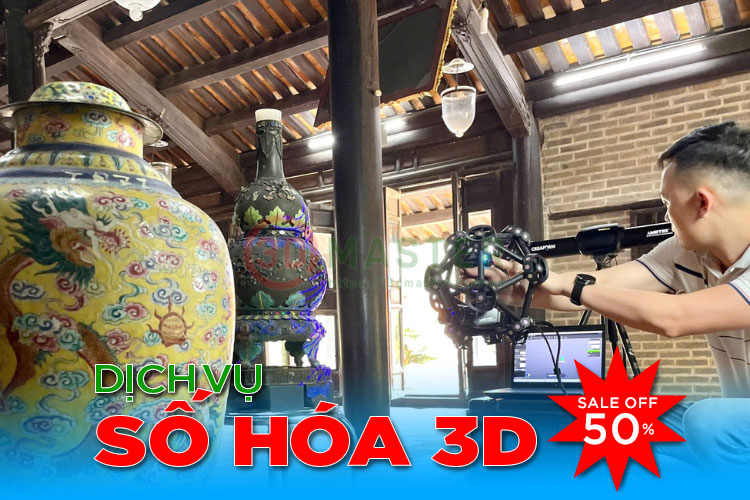
To use 3D scanning effectively on large infrastructure projects, companies need equipment suited to the structure, measurement requirements, and site conditions. Scanner capabilities, consulting experience, data processing, and technical support all influence the quality of the results.
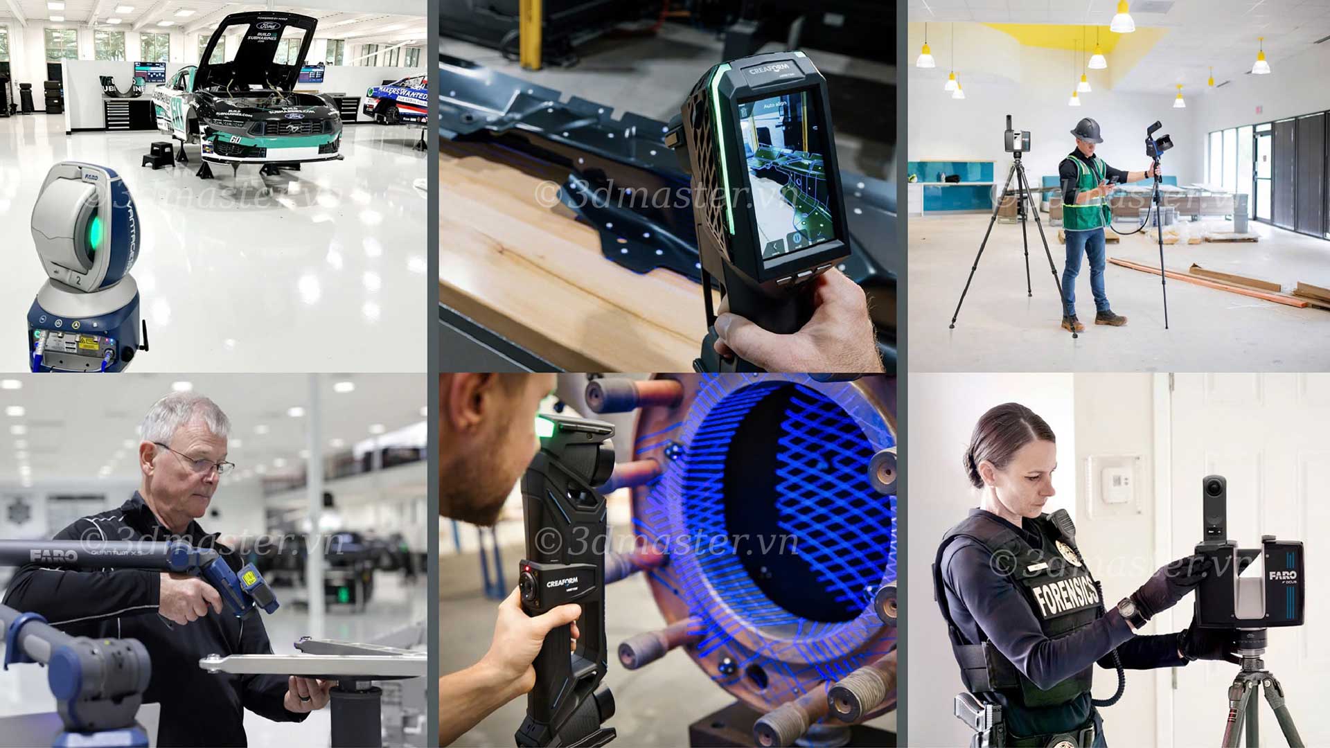
With more than 10 years of experience, 3D Master is an official distributor of FARO and Creaform industrial 3D scanning solutions in Vietnam. The company helps businesses adopt 3D measurement and digitization technologies.
With a range of demonstration equipment and a specialized technical team, 3D Master provides solutions tailored to each project’s measurement, inspection, and site requirements.
This helps customers access modern scanning technology, maintain control of their data, and carry out digitization projects more efficiently.
3D laser scanning offers a more efficient way to survey underground metro lines, verify construction quality, and manage assets in service. Accurate spatial data helps engineers identify geometric deviations, monitor deformation, and maintain a visual record of existing conditions.
3D Master Contact Information